
Background
IN0803 | |
Värriö Subarctic Research Station | |
Sub-Arctic | |
Open | |
Station | |
Finland | |
Station | |
1967 | |
Year-Round |
Introduction
Värriö Subarctic Research Station is managed by University of Helsinki, Department of Physics. | |
The area is a subarctic pine forest with several mountains and ridges reaching 500–600 m a.s.l. The station is located in the Värriö Strict Nature Reserve, and thus access without permission is forbidden. Small lakes, wetlands, and rivers are located around the station, which lies on the south facing slope of a small hill. Nearest population centres and industry are 100 km away. | |
The station is located in a nature reserve, and thus the natural state of the environment in the region is protected. The alpine tree line (Pinus sylvestris, Betula pubescens subsp. czerepanovii, and Betula nana) lies at about 470 m a.s.l. Below it, old-growth pine forests with some open mires and spruce swamps are the main vegetation types. Open dry tundra heath lies above the tree line. The climate is sub-continental with an annual mean air temperature of -0.5°C and an annual precipitation of 600 mm. There are several rare northern and eastern species nesting in the nature reserve, e.g. dotterel (Charadrius morinellus) and red-flanked bluetail (Tarsiger cyanurus). | |
The station was established in 1967 when the first 50 m2 log cabin was built in the middle of the wilderness. Later on, the station has been extended, and currently it can accommodate c. 20 researchers indoors and more outdoors in tents. There are small but efficient working facilities for indoor research work including e.g. wireless network, workstations, and reference library. The station is connected to the main electricity network but has also a generator for exceptional cases. The station staff on duty every day, year around. The nearest commercial facilities, such as grocery store and healthcare centre, are located 100 km away in the village of Savukoski. | |
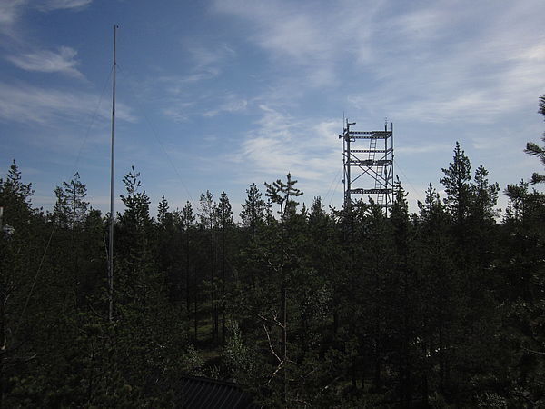
The research focuses on interactions between the subarctic ecosystems and the atmosphere. The core is at the SMEAR I (Station for Measuring Ecosystem Atmosphere Relations) station at the Kotovaara hill (800 m from the station). Since early 1990’s, continuous measurements on tree gas exchange (photosynthesis, transpiration), soil respiration, tree growth, weather, gas, and aerosol concentrations and fluxes, and pollutant transport have been performed. The measurements are online and maintained throughout the year. The data are stored in an open database. In addition, several long (over 40 years) observation series on e.g. snow conditions, nesting birds, and phenology, as well as shorter term campaigns, on e.g. forest fire regimes and tree regeneration, exist in the station data repositories. | |
The nearest local village is Savukoski, c. 100 km to the southwest. The forests are used intensively for forestry and reindeer husbandry. The nearby Urho Kekkonen National Park and other protected areas as well as fish-rich rivers fascinate large numbers of tourists. Recently, plans have been proposed for opening a large open pit phosphorus mine and a concentration plant in the close vicinity of Värriö Strict Nature Reserve. | |
The station is accessed by foot (during summer) or by ski (during winter), assistance with snowmobile or a quad bike is available for instruments and larger luggage. The walking distance from the nearest unpaved road to the station is about 7 km. The distance to the nearest airport (Rovaniemi) is c. 300 km, while the nearest railway station (Kemijärvi) is c. 190 km away. From Kemijärvi there are regular bus and post taxi connections on weekdays. |
Operator
University of Helsinki | |
Government | |
Department of Physics, Department of Forest Sciences | |
Jaana.back@helsinki.fi, tuukka.petaja@helsinki.fi | |
Data Source
Partner Institution
Yes |
Location
IN0803 | |
67° 44' 0'' N | |
29° 36' 0'' E | |
European Arctic | |
388 | |
320 | |
620 | |
100 | |
0 | |
0 | |
0 | |
Ice-free ground |
Climate
None | |
Sub-Arctic | |
Snow and Rain | |
600 | |
31 | |
35 | |
SW | |
-0.5 | |
-8.2 | |
12.1 | |
June | |
June; July; August |
Features
Lake; Mountain; Rivers; Shoreline; Tree line; Tundra; Valley; Other | |
Shrub tundra; Graminoid tundra; Forest tundra; Peatlands; Wetlands; Deciduous forest; Evergreen forest; |
Disciplines
Atmospheric chemistry and physics; Climatology; Climate change; Environmental sciences; Geology; Geophysics and seismology; Hydrology; Isotopic chemistry; Limnology; Microbiology; Paleoecology; Paleolimnology; Pollution; Sedimentology; Soil science; Terrestrial biology |
Human Activities
Yes | |
Strict nature conservation area since 1960's, before that normal human presence. Currently only reindeer husbandry is allowed (no active forest management) | |
reindeer husbandry | |
Yes | |
Yes | |
No | |
No |
Infrastructure
IN0803 | |
297 | |
15 | |
None | |
20 | |
60 | |
20 | |
Yes | |
Yes | |
Fossil fuel; Renewable | |
220 | |
24 | |
No |
Staff Capacity
2 | |
2 | |
0 | |
0 | |
50 | |
15 |
Scientific Equipment
Very basic lab equipment, field equipment | |
Technical support, support for field work, open access to all data | |
A full range of measurements on atmospheric and ecosystem processes (photosynthesis, respiration, transpiration) at SMEAR I station, additionally systematic bird nests, transects for migrating birds, precipitation gauges, phenology observations etc. |
Medical Facilities
No | |
0 | |
0 | |
150 | |
0 | |
0 | |
0 | |
0 | |
GPS | |
No | |
No |
Vehicles
One 4WD car, ski-doo and quad bike |
Workshop facilities
ICTS (Staff available to assit with constructions) |
Communications
Computer; E-mail; Fax; Internet; Printer; Satellite phone; Scanner; Telephone; VHF |
Access
IN0803 | |
Land |
Aircraft landing facilities
0 | |
0 | |
0 | |
Helipad | |
Yes |
Transport and freight
Car; Quad; Skidoo; Walking; Other | |
Bus | |
0 | |
0 |
Access To The Facility
Yes | |
Yes | |
Jaana.back@helsinki.fi | |
Jaana.back@helsinki.fi |
Pictures
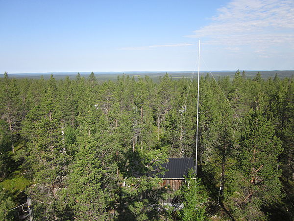 SMEAR I shed from tower (Credits: Aleksi Mikola) |
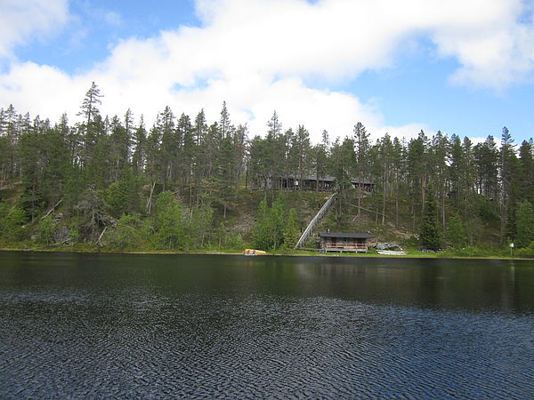
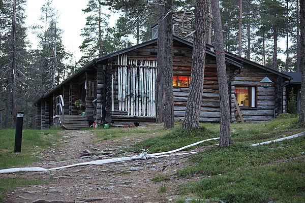 Accomodation building (Credits: Olli Peltola) |
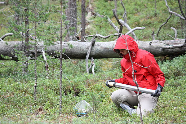 Soil sampling (Credits: Olli Peltola) |
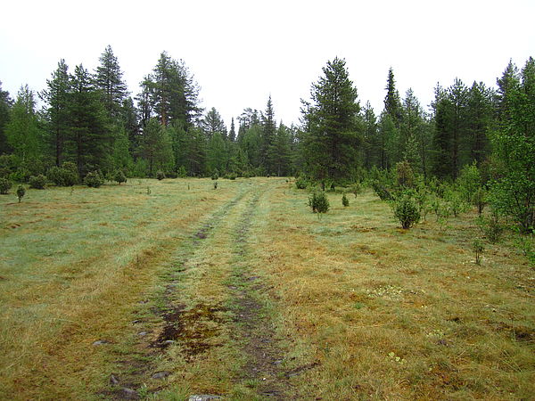 ATV path (Credits: Laura Matkala) |
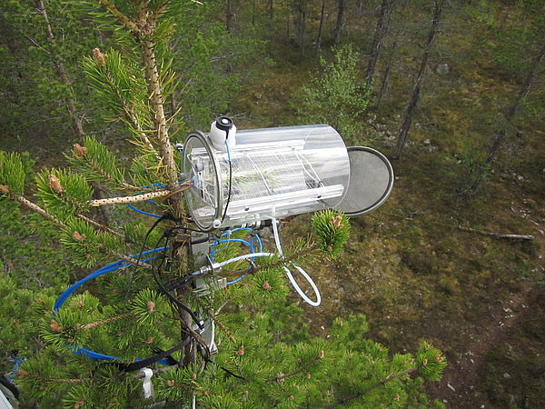 Cuvette (Credits: Aleksi Mikola) |
 Forest and SMEAR tower (Credits: Olli Peltola) |
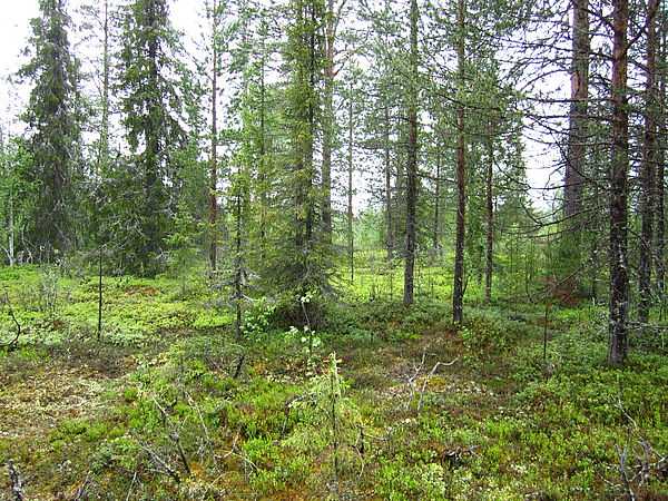 Forest (Credits: Laura Matkala) |
 Forest (Credits: Laura Matkala) |
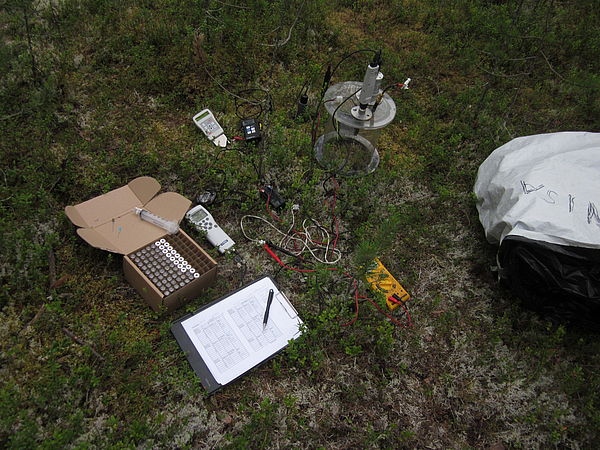
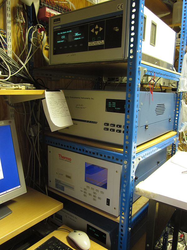 Gas analysators (Credits: Aleksi Mikola) |
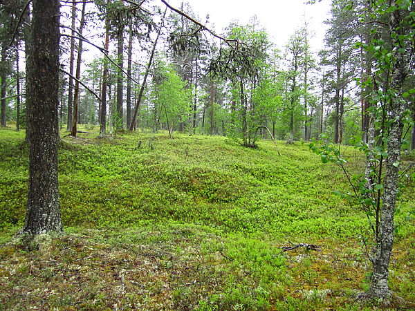
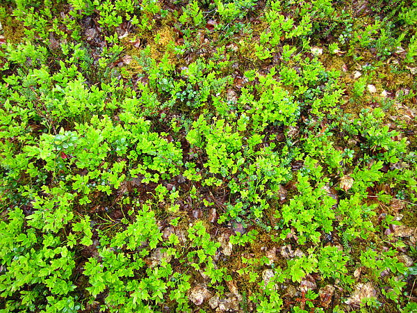 Ground vegetation (Credits: Laura Matkala) |
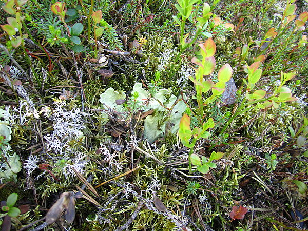 Ground vegetation (Credits: Laura Matkala) |
 Insect traps (Credits: Aleksi Mikola) |
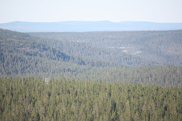
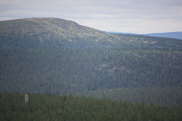
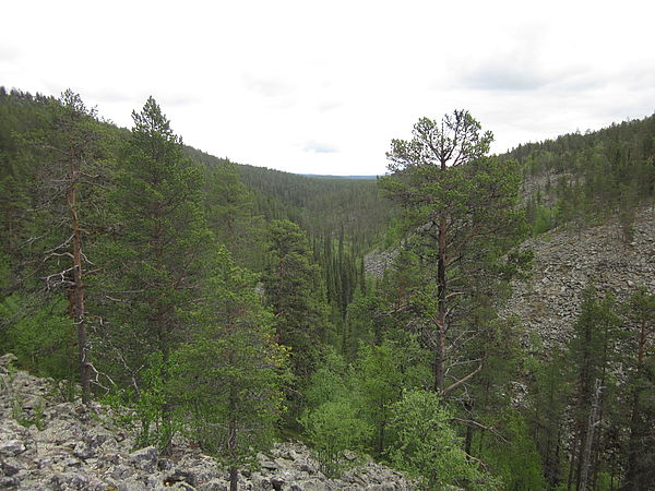 Kotkakuru (Credits: Aleksi Mikola) |
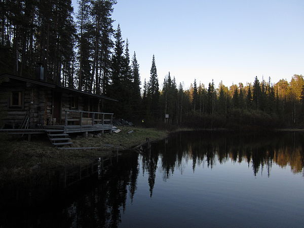 Kuutsjärvi (Credits: Aleksi Mikola) |
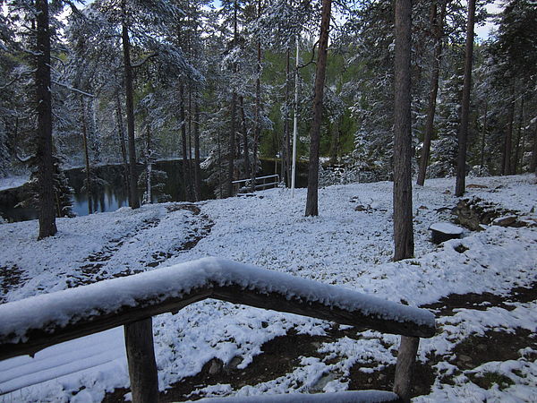 Midsummer snow morning (Credits: Aleksi Mikola) |
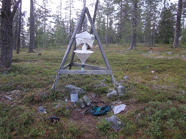
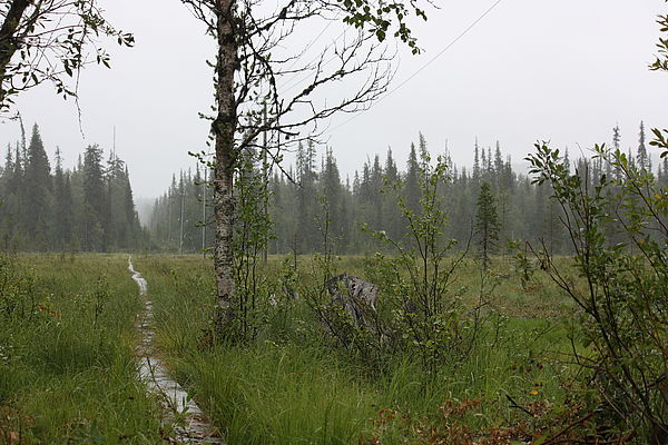
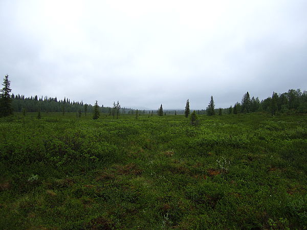 Nuorttiaapa peatland along the ATV path (Credits: Laura Matkala) |
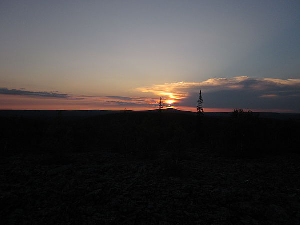 Nuorttitunturi early morning (Credits: Aleksi Mikola) |
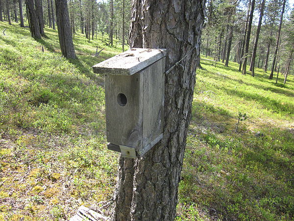 Passerine nest box (Credits: Aleksi Mikola) |
 Puolivälinjänkä peatland along the summer path (Credits: Olli Peltola) |
 SMEAR tower and Nuorttitunturi (Credits: Olli Peltola) |
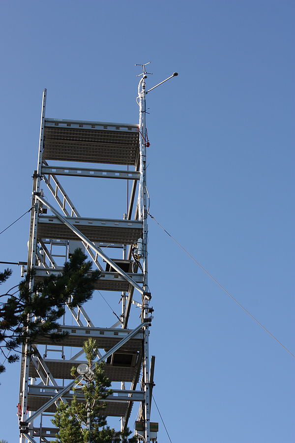 SMEAR tower (Credits:Olli Peltola) |
 Soil respiration measurements (Credits: Aleksi Mikola) |
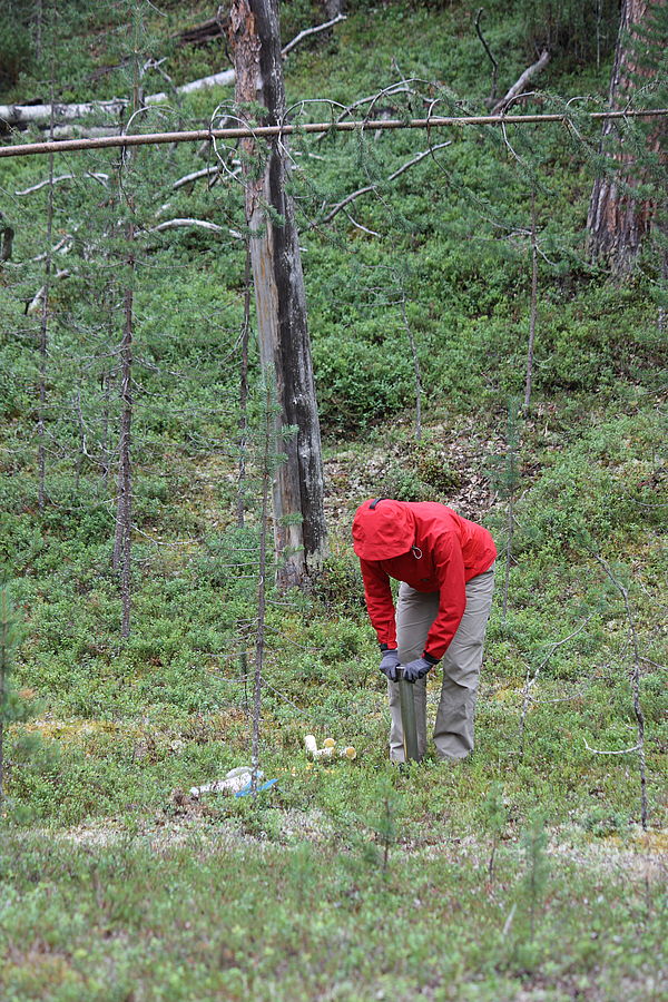 Soil sampling (Credits: Olli Peltola) |
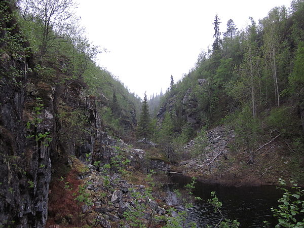 Syväkuru (Credits: Aleksi Mikola) |
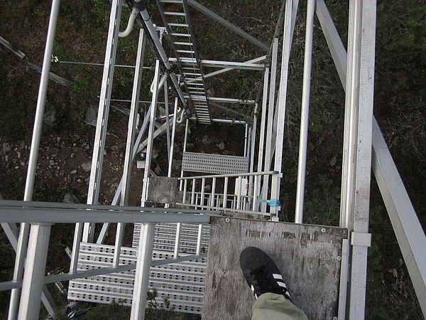 Värriö SView down from tower (Credits: Aleksi Mikola) |
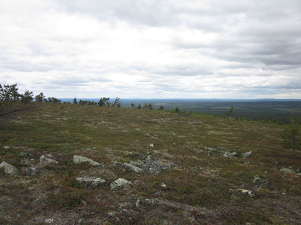 View from Värrioe (Credits: Aleksi Mikola) |
 View of SMEAR I tower (Credits: Aleksi Mikola) |
 Nuorttiaapa peatland along the ATV path (Credits: Laura Matkala) |
Nuorttitunturi early morning (Credits: Aleksi Mikola) |